BEL and Esri India Sign Agreement to Jointly Advance Geographic Intelligence, Location Technologies, and AI-Driven Geospatial Capabilities for Defence Applications

Summary
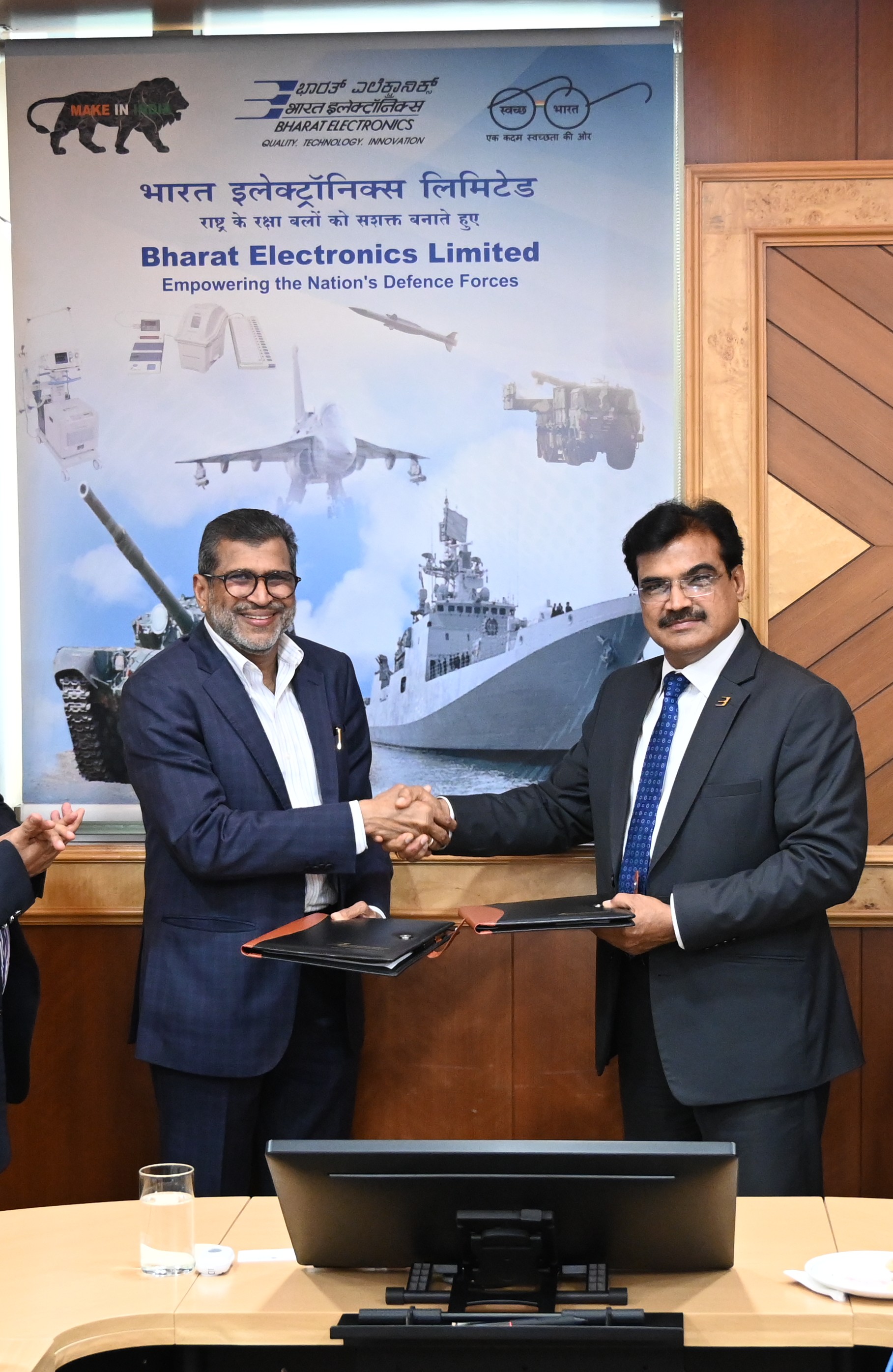
Bharat Electronics Limited (BEL) and Esri India, India's leading geographic information system (GIS) solutions provider, have formalized a Memorandum of Understanding (MoU) to collaborate on defence-oriented projects involving GIS, location intelligence, and GeoAI technologies. The partnership strategically combines BEL's established expertise in defence electronics and systems integration with Esri India's advanced geospatial and artificial intelligence capabilities, building upon previous successful project deliveries for Indian defence services. A key focus of the agreement is ensuring rapid deployment and timely availability of GIS solutions to address urgent and surge-driven operational requirements across India's defence sector. Additionally, Esri India will provide dedicated training support to BEL personnel, enabling them to develop in-house proficiency in GIS and GeoAI through its indigenously developed 'Indo ArcGIS' platform. Both organizations have emphasized that this collaboration represents a significant stride toward strengthening India's indigenous geospatial innovation, enhancing situational awareness, and equipping defence forces with actionable, mission-ready intelligence capabilities.
Key Takeaways
- 1. **Strategic Defence-GIS Integration:** The BEL-Esri India MoU marks a significant advancement in integrating geospatial intelligence and GeoAI into India's defence ecosystem, elevating these technologies from support tools to strategic decision-making assets for military commanders.
- 2. **Enhanced Operational Readiness:** The partnership specifically addresses surge-driven and urgent operational requirements, ensuring Indian defence services have timely access to deployable GIS solutions during critical and time-sensitive military scenarios.
- 3. **Indigenous Capability Development:** Training initiatives on the 'Indo ArcGIS' platform will build BEL's in-house GIS and GeoAI expertise, directly supporting India's broader defence indigenization goals aligned with the 'Atmanirbhar Bharat' initiative.
- 4. **Next-Generation Situational Awareness:** The convergence of BEL's defence systems integration capabilities with advanced GeoAI will deliver superior situational awareness, improved operational coordination, and faster, more precise battlefield decision-making for Indian armed forces.
- 5. **AI-Driven Military Geospatial Evolution:** As artificial intelligence becomes increasingly embedded in defence operations, this collaboration positions India to develop future-ready, resilient geospatial intelligence infrastructure capable of meeting evolving national security and military operational demands.